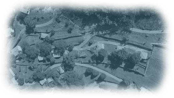
access to the domaine
GPS coordinates : 44.6950384 4.3499514
- Yellow and green signs will also guide you from Valse Vals-les-Bains
- Alongside the road leading to the domaine you’ll come across chestnut trees which are emblematic of the area.
how far is the domain from other places :
Itinéraire à suivre depuis Vals les Bains :
- Go through Vals les Bains in the direction of Antraigues (D578).
- At the sign marking the end of Vals turn left onto the D243 in the direction of Labastide sur Besorgues.
- After 3 km take a right onto the D543.
- This is a very narrow and winding road and it will lead you to the Domaine (3km).
Discover the sources and volcanoes in Ardeche
To enjoy the picturesque landscape, don’t hesitate to drive along narrow roads where you’ll come across stone villages, terraces and basaltic flows. :
- Volcanic sites, basaltic flows : Jaujac, Aizac...
- Villages of character, châteaux : the medieval village of Meyras, Antraigues sur Volane, château du Ventadour, château d'Aubenas...
- Panoramas and unusual discoveries : le pont du Diable de Thuyets, la cascade du Ray Pic, une cascade de 50 m. sur fond d’orgues basaltique…
touristic sites within 50 km
- Le Mont Gerbier de Jonc
- Le lac d’Issarlès
You have to know...
The volcanoes in Ardèche which are among the youngest in Europe, have shaped up the landscape : former craters have become lakes, some villages are nestled on the flows..

